Northern Grampians Spatial Vision
1:50,000 Scale Map
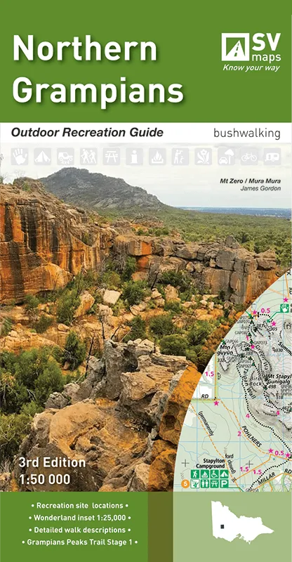
Coverage of the main map extends from about Mount William Road junction (Note: Mount William?is not?included) and Moora Moora reservoir in the south to Mount Zero including the whole?northern?sector of the?Grampians National Park. The reverse side includes a 1:25,000 scale enlargement of?Halls Gap?and the?Wonderland?area. A total of 29 day walks and 2 overnight hikes are described with brief track notes including distance, difficulty gradings and estimated walking time. All walks are cross-referenced by numeric symbols to the maps.
There are also background notes on flora and fauna, other activities, safety and Aboriginal heritage.


