Ideal for bushwalking
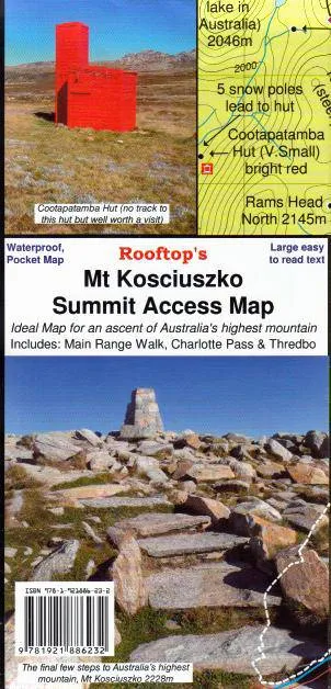
This map is a handy pocket-sized map of access tracks to and from the highest mountain in Australia. It includes walking tracks from Thredbo and Charlottes Pass as well as The Main Range Walking Track.
?
Scale:?1:25,000
Edition:?1
Published:?2008
Additional product information
| Edition | 2nd edition. |
| Publication date | 2016 |


