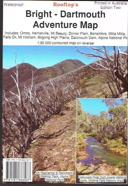
Bright Dartmouth: Rooftop
The highest of the High Country
2nd Edtion 2018
Bright Dartmouth:Includes Omeo, Victoriua Falls, Dinner Plain, Falls Creek, Mount Feathertop, Falls Creek, Harrietville, Bright, Mount Beauty, Dederang, Mitta Mitta, Lake Dartmouth, Glen Valley, Anglers Rest, Benambra etc.
Recommended 4X4 map for Lake Dartmouth, Mayford, Mitta Mitta, Angler's Rest, Glen Wills.
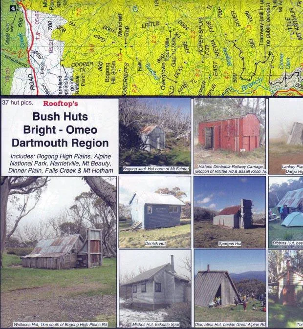
Pictorial inset on the bush huts of the Bogong - Hotham region.
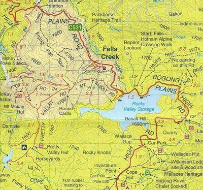
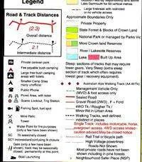
A 1:50,000 scale Forest Activities Map of the Bogong, Bright and Mount Hotham Region fills the entire reverse side.?
Printed on waterproof paper.
(Source: A.B.C. Maps & Guide Books distributor marketing).
Additional product information
| Edition | 2nd edition. |
| Publication date | 2018 |
| Map Scale | 1:100,000 with 1:50,000 enlargement. |


")


