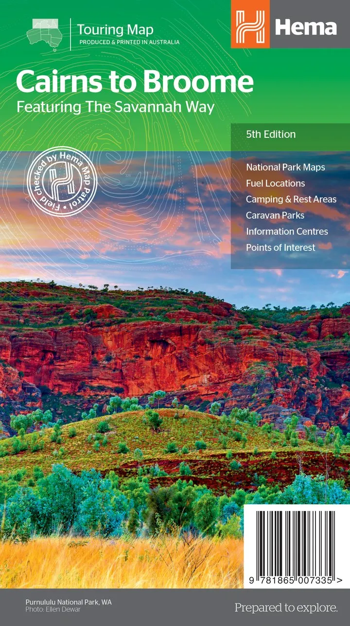
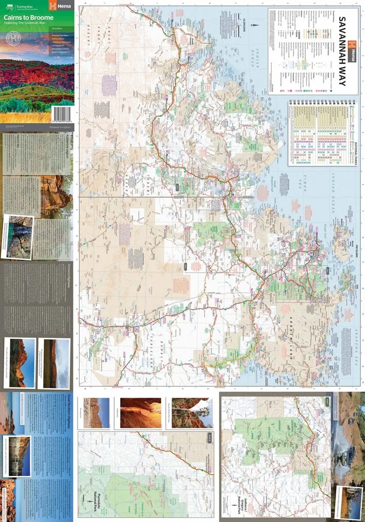
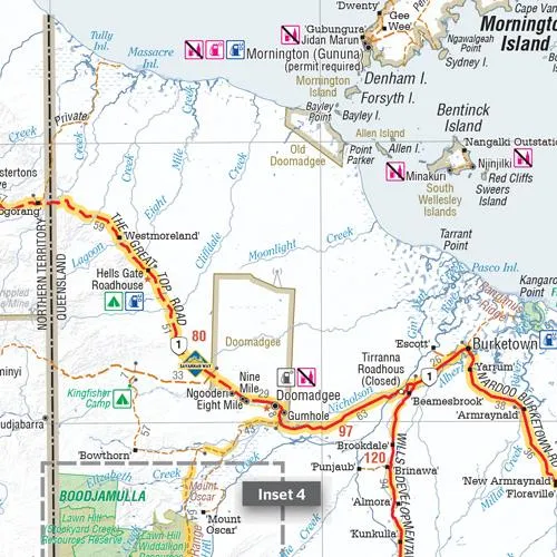
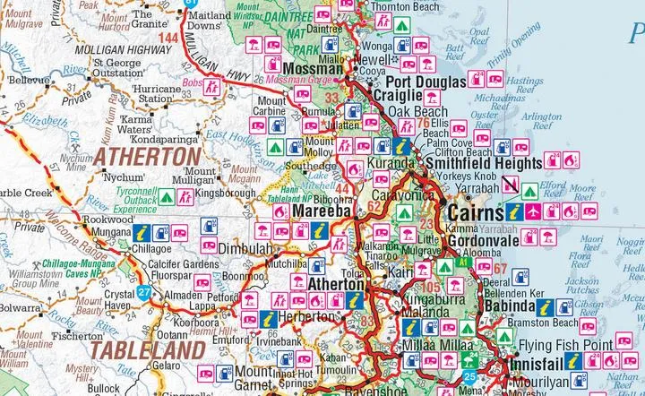
A touring map for the trip along the Savannah Way between Cairns and Broome at a scale of 1:2,200,000. The maps show 24-hour fuel, outback fuel and LPG as well as caravan parks, camping areas and rest areas. Popular national parks along the route are featured with detailed inset maps of Judbarra/Gregory, Purnululu, Kakadu and Boodjamulla. Also included are contact details for accredited information centres and useful lists of the facilities in national parks.
?
Key?Features?
- The Savannah Way
- National Park maps and info
- Distance charts
- Information centres
- Fuel stops
- Caravan Parks, camping and rest areas
?
Key?Specifications
Edition: 5th
Publication Date: 01/05/14
Scale:?1:2,200,000
Folded size (WxHxD): 140mm?x 250mm x 3mm
Flat?size (WxH): 700mm?x 1000mm
Weight: 0.09kgs


")


